 Ridgeflow
Abel Tasman Coast Track
Tasman · New Zealand
Distance53.7 km (33.4 mi)all 8 sections
Climb1,739 m (5,705 ft)1,747 m (5,732 ft) down
High point193 m (633 ft)lowest 0 m (0 ft)
DOC's time3–5 days one wayas DOC publishes it
GradeIntermediateDOC
This track is mapped in 8 separate sections, so there is no single profile or walking time. Climb is added up section by section.
Map
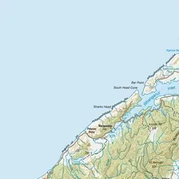
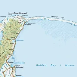


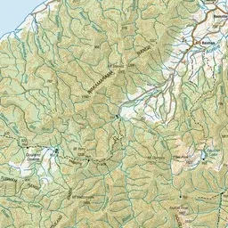
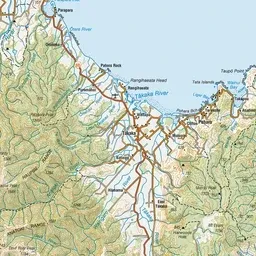
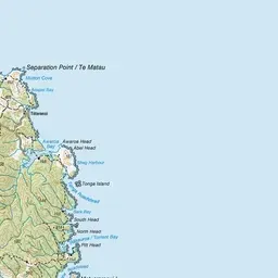

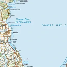
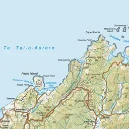
Pink: the track. Orange: huts. Blue: campsites.
About the track
Enjoy the mild climate, golden beaches and lush coastal native bush on the Abel Tasman Coast Track.
Huts on or near the track
- Awaroa Hut (9 m, bookable)
- Whariwharangi Hut (18 m, bookable)
- Bark Bay Hut (8 m, bookable)
Campsites
- Torrent Bay Village Campsite (5 m)
- Coquille Bay Campsite (4 m)
- Waiharakeke Bay Campsite (10 m)
- Apple Tree Bay Campsite (5 m)
- Anapai Bay Campsite (6 m)
- Mutton Cove Campsite (7 m)
- Onetahuti Bay Campsite (6 m)
- Whariwharangi Bay Campsite (18 m)
- Bark Bay Campsite (10 m)
- Tinline Campsite (17 m)
- Awaroa Campsite (13 m)
- Akersten Bay Campsite (10 m)
Abel Tasman Coast Track on DOC's website, for track alerts, bookings and closures.