 Ridgeflow
Ahuriri Valley Track
Canterbury · New Zealand
Distance16.5 km (10.2 mi)along the line
Climb222 m (728 ft)29 m (95 ft) down
High point959 m (3,146 ft)lowest 766 m (2,513 ft)
DOC's time6 hr one wayas DOC publishes it
Walking time4 h 29 minone way, moving, our estimate
GradeAdvancedDOC
Elevation profile
Map
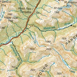
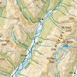
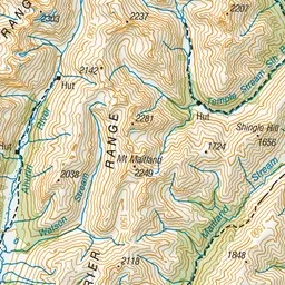
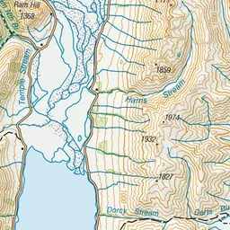
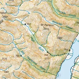
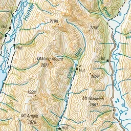
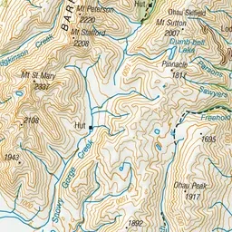
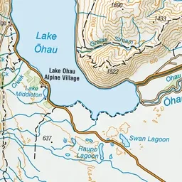
Pink: the track. Green dot: the start. Orange: huts.
About the track
This track follows the Ahuriri River. Three huts on route provide several options.
Huts on or near the track
- Shamrock Hut (827 m)
- Hagens Hut (861 m)
- Top Hut (959 m)
Ahuriri Valley Track on DOC's website, for track alerts, bookings and closures.