 Ridgeflow
Alborns Walk
West Coast · New Zealand
Distance2.1 km (1.3 mi)along the line
Climb77 m (253 ft)90 m (295 ft) down
High point546 m (1,791 ft)lowest 464 m (1,522 ft)
DOC's time1 hr 30 minas DOC publishes it
Walking time40 minone way, moving, our estimate
GradeEasyDOC
Elevation profile
Map
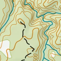
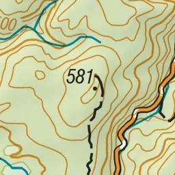
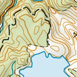
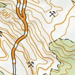
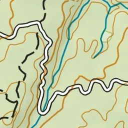
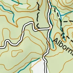
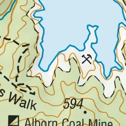
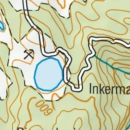
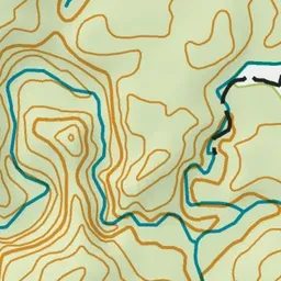
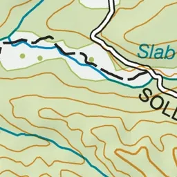
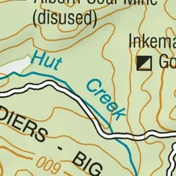
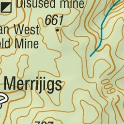
Pink: the track.
About the track
Walk through old mine workings on this well-graded loop track.
Alborns Walk on DOC's website, for track alerts, bookings and closures.