 Ridgeflow
Alex Knob Track
West Coast · New Zealand
Distance7.6 km (4.7 mi)all 2 sections
Climb1,103 m (3,619 ft)19 m (62 ft) down
High point1,292 m (4,239 ft)lowest 189 m (620 ft)
DOC's time8 hras DOC publishes it
GradeAdvancedDOC
This track is mapped in 2 separate sections, so there is no single profile or walking time. Climb is added up section by section.
Map
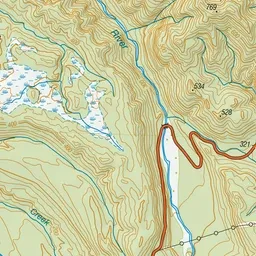
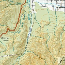
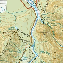
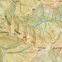
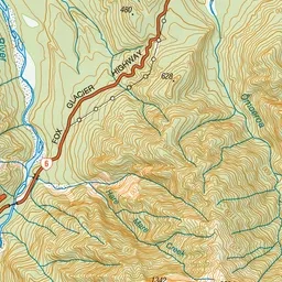
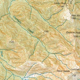
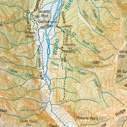
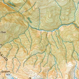
Pink: the track.
About the track
This is a challenging day hike with a reward of the best views of Franz Josef Glacier/Kā Roimata o Hine Hukatere without taking a helicopter flight. In summer, make sure you start your hike early to avoid afternoon cloud.
Alex Knob Track on DOC's website, for track alerts, bookings and closures.