 Ridgeflow
Alice Nash Memorial Heritage Lodge Track
Manawatū-Whanganui · New Zealand
Distance2.4 km (1.5 mi)along the line
Climb86 m (282 ft)242 m (794 ft) down
High point746 m (2,448 ft)lowest 590 m (1,936 ft)
DOC's time30 min one wayas DOC publishes it
Walking time45 minone way, moving, our estimate
GradeEasyDOC
Elevation profile
Map
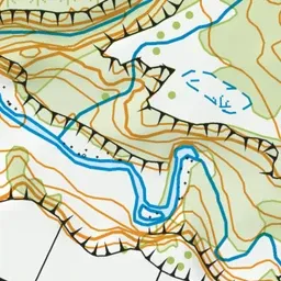
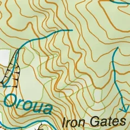
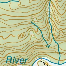
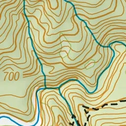
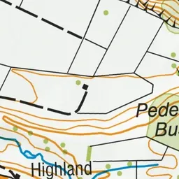
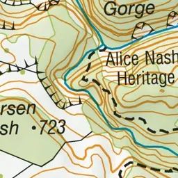
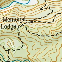
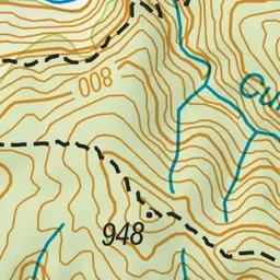
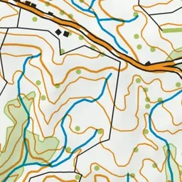
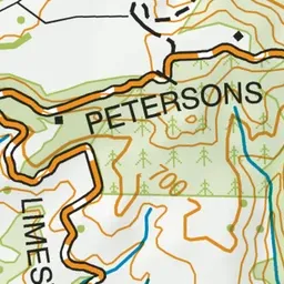
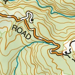
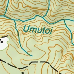
Pink: the track. Green dot: the start. Orange: huts.
About the track
This track in the scenic Oroua River valley can be enjoyed as a half day hike but it's also a good overnight hike for families with children and new hikers.
Huts on or near the track
Alice Nash Memorial Heritage Lodge Track on DOC's website, for track alerts, bookings and closures.