 Ridgeflow
Allans Track
Canterbury · New Zealand
Distance2.3 km (1.4 mi)along the line
Climb240 m (787 ft)68 m (223 ft) down
High point609 m (1,998 ft)lowest 411 m (1,348 ft)
DOC's time2 hras DOC publishes it
Walking time58 minone way, moving, our estimate
GradeAdvancedDOC
Elevation profile
Map
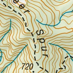
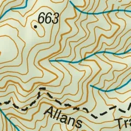
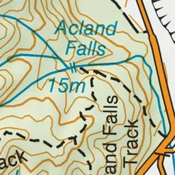
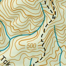

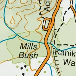
Pink: the track. Green dot: the start.
About the track
Allans Track starts from Te Wanahau Flat and joins Fern Walk to get back to the starting point.
Allans Track on DOC's website, for track alerts, bookings and closures.