 Ridgeflow
Alpine Route
Marlborough · New Zealand
Distance62.2 km (38.6 mi)all 5 sections
Climb4,695 m (15,404 ft)3,852 m (12,638 ft) down
High point1,720 m (5,643 ft)lowest 121 m (397 ft)
GradeAdvanced, ExpertDOC
This track is mapped in 5 separate sections, so there is no single profile or walking time. Climb is added up section by section.
Map
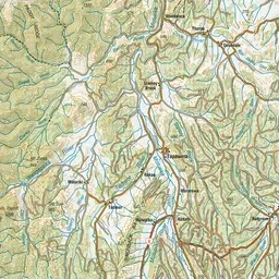
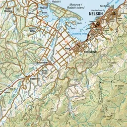
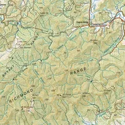
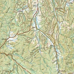
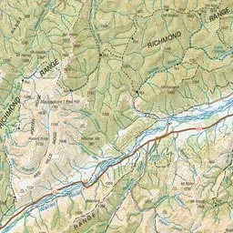
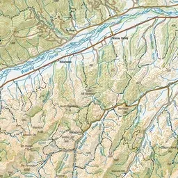
Pink: the track. Orange: huts.
About the track
This challenging trip above the bushline in Mt Richmond Forest Park offers outstanding views over the Waimea Plains and the Inland Kaikoura Ranges. This track is part of Te Araroa Trail.
Huts on or near the track
- Starveall Hut (1167 m)
- Slaty Hut (1385 m)
- Mt Rintoul Hut (1252 m)
- Tarn Hut (1020 m)
- Hacket Hut (260 m)
- Mid Wairoa Hut (376 m)
- Lower Goulter Hut (392 m)
Alpine Route on DOC's website, for track alerts, bookings and closures.