 Ridgeflow
Anatoki and Historic Kill Devil Pack Tracks
Tasman · New Zealand
Distance50.6 km (31.4 mi)all 3 sections
Climb2,620 m (8,596 ft)2,653 m (8,704 ft) down
High point1,118 m (3,668 ft)lowest 123 m (404 ft)
DOC's time3-5 daysas DOC publishes it
GradeAdvancedDOC
This track is mapped in 3 separate sections, so there is no single profile or walking time. Climb is added up section by section.
Map
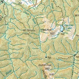
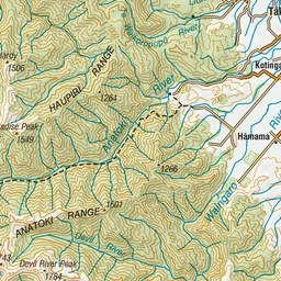
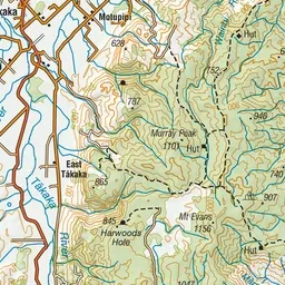
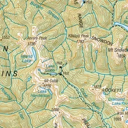
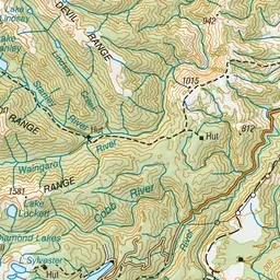
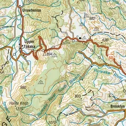
Pink: the track. Orange: huts.
About the track
Explore beautiful beech forest, dramatic gorge scenery and rock debris dam at Lake Stanley. Hikers can also enjoy a historic hut experience in restored character huts from 1930s gold mining days.
Huts on or near the track
- Waingaro Forks Hut (448 m)
- Riordans Hut (835 m)
- Anatoki Forks Hut (629 m)
- Soper Shelter (774 m)
Anatoki and Historic Kill Devil Pack Tracks on DOC's website, for track alerts, bookings and closures.