 Ridgeflow
Anaura Bay Walkway
Gisborne · New Zealand
Distance4 km (2.5 mi)along the line
Climb192 m (630 ft)198 m (650 ft) down
High point143 m (469 ft)lowest 17 m (56 ft)
DOC's time2 hras DOC publishes it
Walking time1 h 20 minone way, moving, our estimate
GradeEasyDOC
Elevation profile
Map
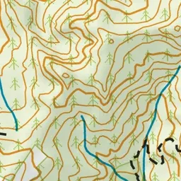
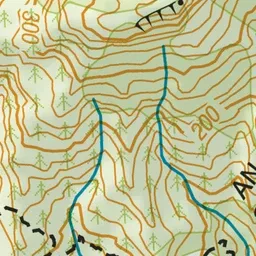
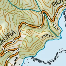
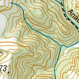
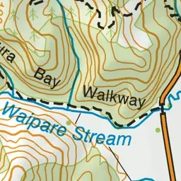
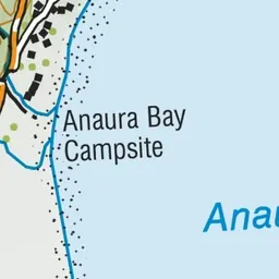
Pink: the track. Green dot: the start. Blue: campsites.
About the track
This track passes through coastal forest, pine-clad valleys and dense native bush - with a fairly easy grade it's suitable for children, although some climbing is required and there are a few steep places.
Campsites
- Anaura Bay Campsite (15 m)
Anaura Bay Walkway on DOC's website, for track alerts, bookings and closures.