 Ridgeflow
Angelus Hut tracks and routes
Tasman · New Zealand
Distance38.4 km (23.9 mi)all 6 sections
Climb2,175 m (7,136 ft)1,742 m (5,715 ft) down
High point1,798 m (5,899 ft)lowest 623 m (2,044 ft)
DOC's time2-3 daysas DOC publishes it
GradeAdvanced, ExpertDOC
This track is mapped in 6 separate sections, so there is no single profile or walking time. Climb is added up section by section.
Map
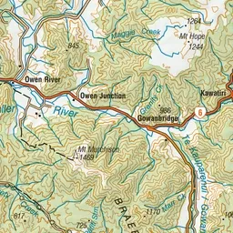
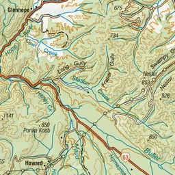
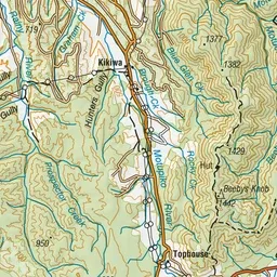
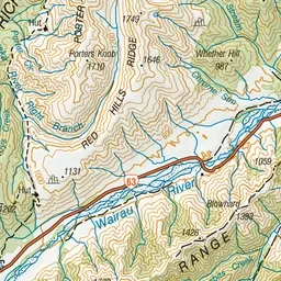
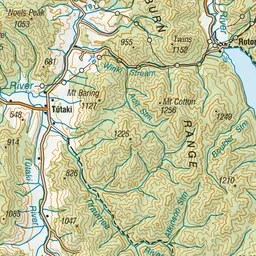
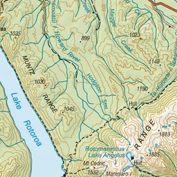
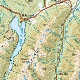
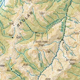
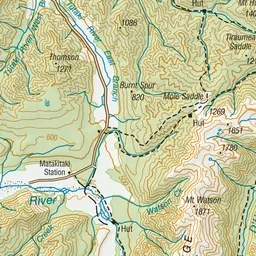
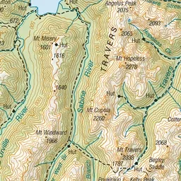
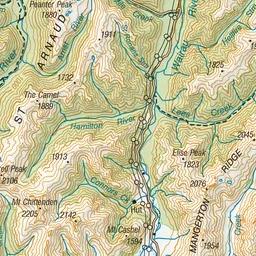
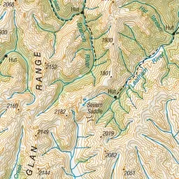
Pink: the track. Orange: huts. Blue: campsites.
About the track
Angelus Hut at 1,650 metres, sits on the shores of Lake Angelus surrounded by spectacular mountain views. From May to October in most years, the lake is frozen, snow blankets all four routes, and you may have to dig your way to the hut.
Huts on or near the track
- Angelus Hut (1654 m, bookable)
- Speargrass Hut (1073 m, bookable)
- Coldwater Hut (626 m)
Campsites
- Angelus Hut Campsite (1654 m)
Angelus Hut tracks and routes on DOC's website, for track alerts, bookings and closures.