 Ridgeflow
Antimony Mines Track
Marlborough · New Zealand
Distance4.3 km (2.7 mi)along the line
Climb15 m (49 ft)662 m (2,172 ft) down
High point663 m (2,175 ft)lowest 15 m (49 ft)
DOC's time2 hras DOC publishes it
Walking time1 h 18 minone way, moving, our estimate
GradeAdvancedDOC
Elevation profile
Map
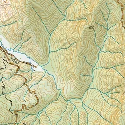
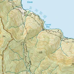
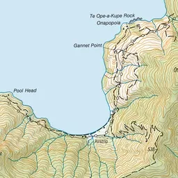
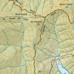
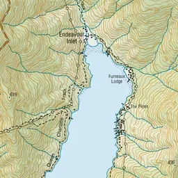
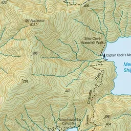
Pink: the track. Green dot: the start.
About the track
The Antimony Mines Track which leads from Endeavour Inlet past the site of an old mine and on to the Titirangi Road.
Antimony Mines Track on DOC's website, for track alerts, bookings and closures.