 Ridgeflow
Aotea Track
Auckland · New Zealand
Distance41.7 km (25.9 mi)all 11 sections
Climb1,800 m (5,906 ft)2,389 m (7,838 ft) down
High point592 m (1,942 ft)lowest 4 m (13 ft)
DOC's time2-3 daysas DOC publishes it
GradeAdvancedDOC
This track is mapped in 11 separate sections, so there is no single profile or walking time. Climb is added up section by section.
Map
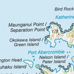
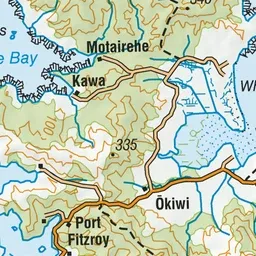
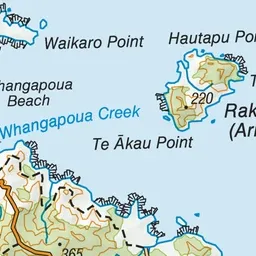
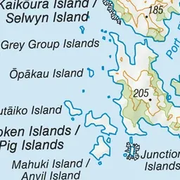
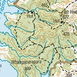
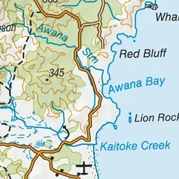

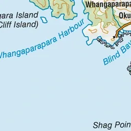
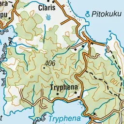
Pink: the track. Orange: huts. Blue: campsites.
About the track
The Aotea Track offers a range of spectacular landscapes, superb views and rich history.
Huts on or near the track
- Mt Heale Hut (409 m, bookable)
- Kaiaraara Hut (20 m, bookable)
Campsites
- The Green Campsite (6 m)
Aotea Track on DOC's website, for track alerts, bookings and closures.