 Ridgeflow
Aparima River Track
Southland · New Zealand
Distance5.7 km (3.6 mi)along the line
Climb8 m (26 ft)65 m (213 ft) down
High point455 m (1,493 ft)lowest 398 m (1,306 ft)
DOC's time2 hras DOC publishes it
Walking time1 h 27 minone way, moving, our estimate
GradeAdvancedDOC
Elevation profile
Map
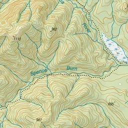
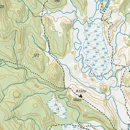
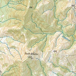
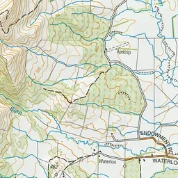
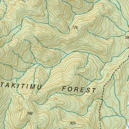
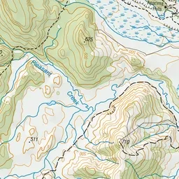
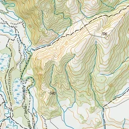
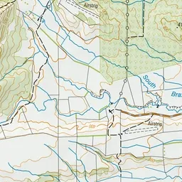
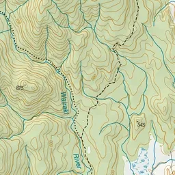
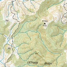
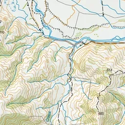
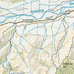
Pink: the track. Green dot: the start. Orange: huts.
About the track
This track starts at the Dunrobin Valley Road end and follows the Aparima River to the Aparima Huts. This track is part of Te Araroa Trail.
Huts on or near the track
- Aparima Hut (452 m)
Aparima River Track on DOC's website, for track alerts, bookings and closures.