 Ridgeflow
Arahura and Styx valleys tracks
West Coast · New Zealand
Distance42 km (26.1 mi)all 3 sections
Climb1,176 m (3,858 ft)1,217 m (3,993 ft) down
High point879 m (2,884 ft)lowest 96 m (315 ft)
DOC's time2–4 daysas DOC publishes it
GradeAdvancedDOC
This track is mapped in 3 separate sections, so there is no single profile or walking time. Climb is added up section by section.
Map
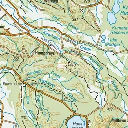
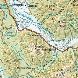
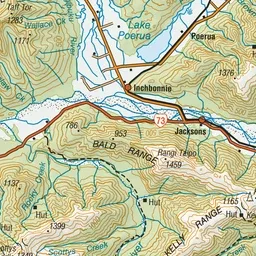
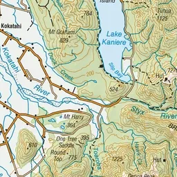
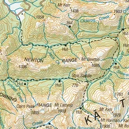
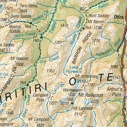
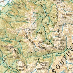
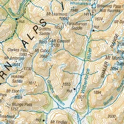
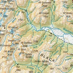
Pink: the track. Orange: huts.
About the track
The Arahura and Styx valleys are popular areas for hiking and hunting. The main access in both valleys is via benched formations constructed during the early gold mining days.
Huts on or near the track
- Mudflats Hut (542 m)
- Lower Arahura Hut (287 m)
- Harman Hut (858 m)
- Grassy Flat Hut (520 m)
Arahura and Styx valleys tracks on DOC's website, for track alerts, bookings and closures.