 Ridgeflow
Arataki Track
Waikato · New Zealand
Distance4.8 km (3 mi)along the line
Climb70 m (230 ft)206 m (676 ft) down
High point518 m (1,699 ft)lowest 345 m (1,132 ft)
Walking time1 h 19 minone way, moving, our estimate
GradeAdvancedDOC
Elevation profile
Map
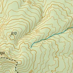
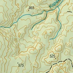
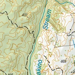
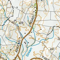
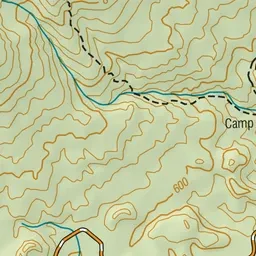
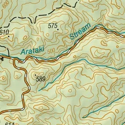
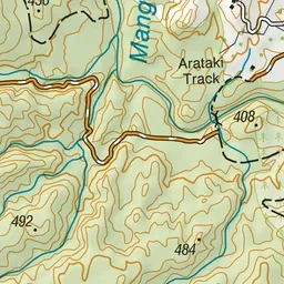
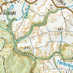
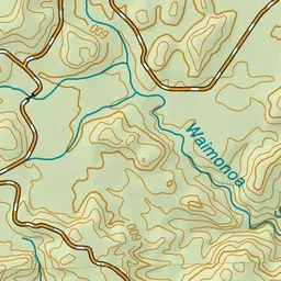
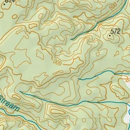
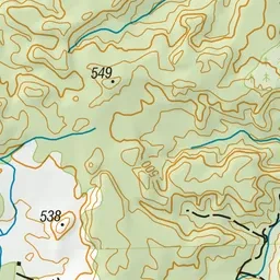
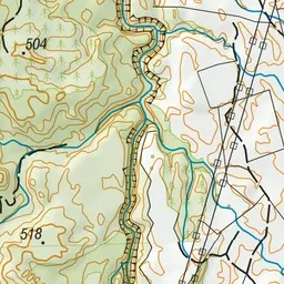
Pink: the track. Green dot: the start.
About the track
This track starts with a suspension bridge crossing over the Mangakino stream. You'll get to see an abundant of birdlife towards the base of Mt Titiraupenga.
Arataki Track on DOC's website, for track alerts, bookings and closures.