 Ridgeflow
Aratiatia Rapids Lookout Walk
Waikato · New Zealand
Distance0.7 km (0.4 mi)along the line
Climb25 m (82 ft)14 m (46 ft) down
High point347 m (1,138 ft)lowest 322 m (1,056 ft)
DOC's time10 minas DOC publishes it
Walking time13 minone way, moving, our estimate
GradeEasiestDOC
Elevation profile
Map
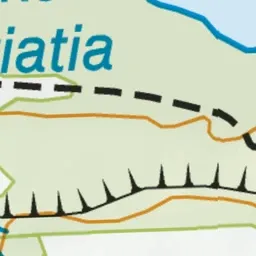
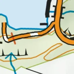
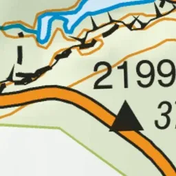
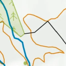
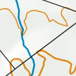
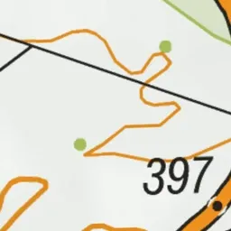
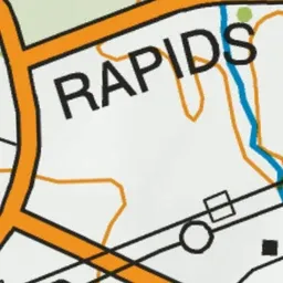
Pink: the track.
About the track
Several times a day the gates at the Aratiatia dam are opened to release the full flow of the river - a spectacular sight from the lookout points. Stay safe and keep clear of the rapids at all times.
Aratiatia Rapids Lookout Walk on DOC's website, for track alerts, bookings and closures.