 Ridgeflow
Archer Track
Marlborough · New Zealand
Distance7.8 km (4.8 mi)along the line
Climb250 m (820 ft)275 m (902 ft) down
High point69 m (226 ft)lowest 10 m (33 ft)
DOC's time3 hr 30 minas DOC publishes it
Walking time2 h 21 minone way, moving, our estimate
GradeEasyDOC
Elevation profile
Map
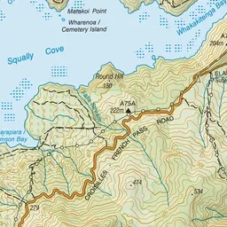
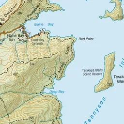
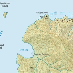
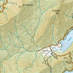
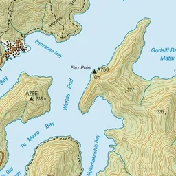
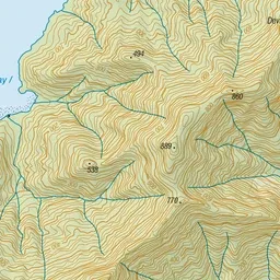
Pink: the track. Green dot: the start.
About the track
This walking and mountain biking track passes through native and pine forest from Penzance Bay to Elaine Bay.
Archer Track on DOC's website, for track alerts, bookings and closures.