 Ridgeflow
Around Blue Lake Track
Otago · New Zealand
Distance3 km (1.9 mi)along the line
Climb111 m (364 ft)87 m (285 ft) down
High point618 m (2,028 ft)lowest 540 m (1,772 ft)
DOC's time1 hr 30 minas DOC publishes it
Walking time56 minone way, moving, our estimate
GradeAdvancedDOC
Elevation profile
Map
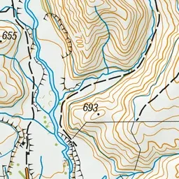
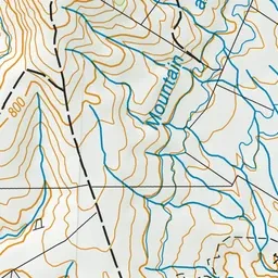
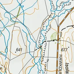
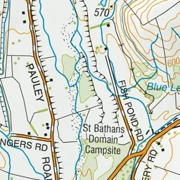
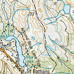
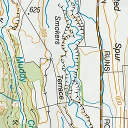
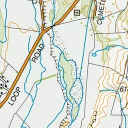
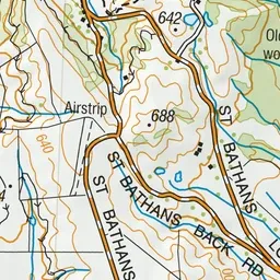
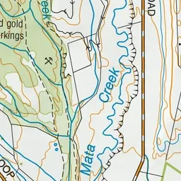
Pink: the track.
About the track
This track has good views of Blue Lake. The St Bathans to Domain track offers an off-road route to the St Bathans Domain.
Around Blue Lake Track on DOC's website, for track alerts, bookings and closures.