 Ridgeflow
Avalanche Peak - Crow River Route
Canterbury · New Zealand
Distance11.8 km (7.3 mi)all 2 sections
Climb1,400 m (4,593 ft)1,072 m (3,517 ft) down
High point1,806 m (5,925 ft)lowest 686 m (2,251 ft)
DOC's time2 daysas DOC publishes it
GradeExpertDOC
This track is mapped in 2 separate sections, so there is no single profile or walking time. Climb is added up section by section.
Map
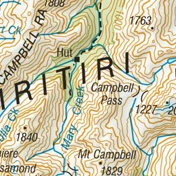
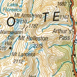
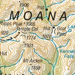
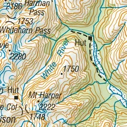
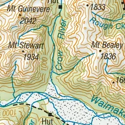
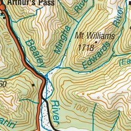
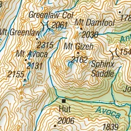
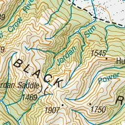
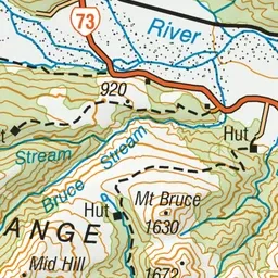
Pink: the track. Orange: huts. Blue: campsites.
About the track
This route makes a good weekend trip, all against a backdrop of some of the best features of Arthur’s Pass National Park – glaciers, mountain peaks and ice-fed rivers. Crow Hut is at the bush edge in an alpine meadow.
Huts on or near the track
- Crow Hut (1024 m)
Campsites
- Avalanche Creek Shelter Campsite (757 m)
Avalanche Peak - Crow River Route on DOC's website, for track alerts, bookings and closures.