 Ridgeflow
Avalanche Peak Route
Canterbury · New Zealand
Distance5.7 km (3.5 mi)along the line
Climb1,041 m (3,415 ft)1,027 m (3,369 ft) down
High point1,802 m (5,912 ft)lowest 761 m (2,497 ft)
DOC's timeVarious options, 3-4 hr to summitas DOC publishes it
Walking time3 h 32 minone way, moving, our estimate
GradeAdvanced, ExpertDOC
Elevation profile
Map
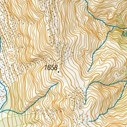
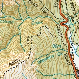
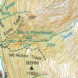
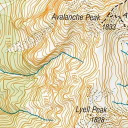
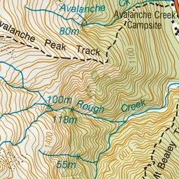
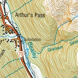
Pink: the track. Green dot: the start. Blue: campsites.
About the track
Avalanche Peak is the only peak in Arthur's Pass that is marked by a poled route to the summit. The climb is 1,100 m vertical from the village and over just 2.5 km horizontal. On a fine day, you will be rewarded with grand views of the surrounding peaks.
Campsites
- Avalanche Creek Shelter Campsite (757 m)
Avalanche Peak Route on DOC's website, for track alerts, bookings and closures.