 Ridgeflow
Awa Nohoaka Conservation Area access tracks
Otago · New Zealand
Distance14.2 km (8.8 mi)all 5 sections
Climb731 m (2,398 ft)479 m (1,572 ft) down
High point1,158 m (3,799 ft)lowest 664 m (2,178 ft)
DOC's timeVarious from 3 - 8 hr one wayas DOC publishes it
GradeAdvancedDOC
This track is mapped in 5 separate sections, so there is no single profile or walking time. Climb is added up section by section.
Map
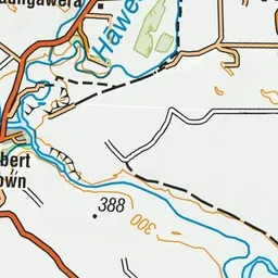
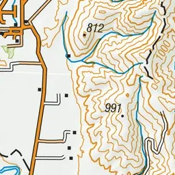
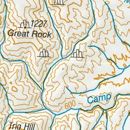
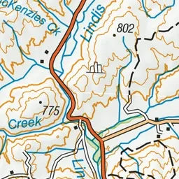
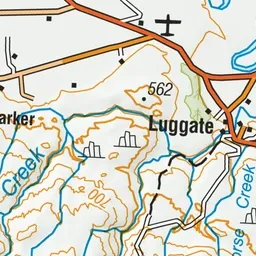
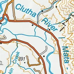
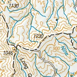
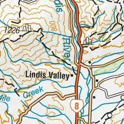
Pink: the track.
About the track
Short tussock and pasture grasslands contrast with grey shrublands, dry shrublands and kanuka shrublands make up this unique conservation area.
Awa Nohoaka Conservation Area access tracks on DOC's website, for track alerts, bookings and closures.