 Ridgeflow
Awaroa/Godley Head Loop Track
Canterbury · New Zealand
Distance8 km (5 mi)along the line
Climb315 m (1,033 ft)289 m (948 ft) down
High point193 m (633 ft)lowest 12 m (39 ft)
DOC's time3 hras DOC publishes it
Walking time2 h 31 minone way, moving, our estimate
GradeEasyDOC
Elevation profile
Map
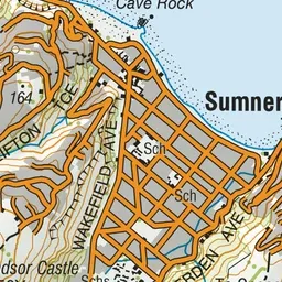
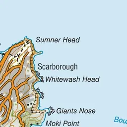


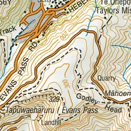
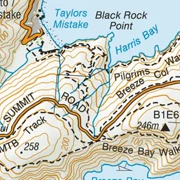
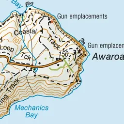

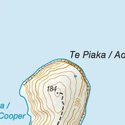
Pink: the track. Blue: campsites.
About the track
This dramatic headland sits on top of sheer 120 metre-high cliffs. It offers spectacular views and the chance to explore the historic Godley Head coastal defence battery and Scott's Cabin.
Campsites
- Godley Head Campsite (142 m)
Awaroa/Godley Head Loop Track on DOC's website, for track alerts, bookings and closures.