 Ridgeflow
Bain Bay Walk
West Coast · New Zealand
Distance3.4 km (2.1 mi)along the line
Climb31 m (102 ft)32 m (105 ft) down
High point122 m (400 ft)lowest 89 m (292 ft)
DOC's time2.5 hras DOC publishes it
Walking time55 minone way, moving, our estimate
GradeEasyDOC
Elevation profile
Map
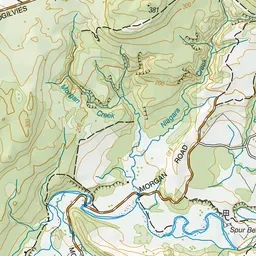
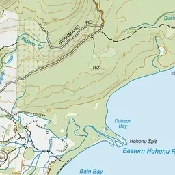
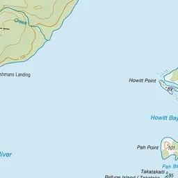
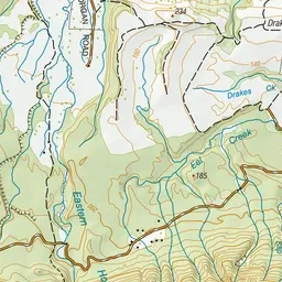
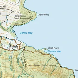
Pink: the track. Green dot: the start.
About the track
Walk round Lake Brunner, then dense forest to Bain Bay where there are remains of tramways and other historic equipment.
Bain Bay Walk on DOC's website, for track alerts, bookings and closures.