 Ridgeflow
Bealey Valley Track
Canterbury · New Zealand
Distance1.3 km (0.8 mi)along the line
Climb125 m (410 ft)0 m (0 ft) down
High point968 m (3,176 ft)lowest 835 m (2,740 ft)
DOC's time25 minas DOC publishes it
Walking time32 minone way, moving, our estimate
GradeEasyDOC
Elevation profile
Map
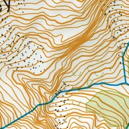
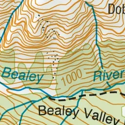
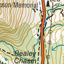
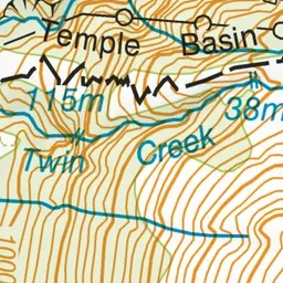
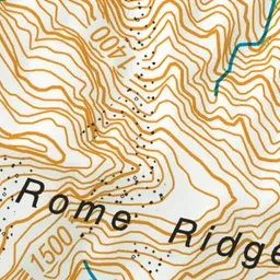
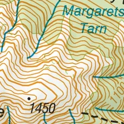
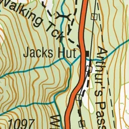
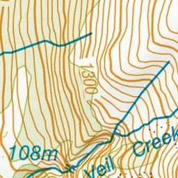
Pink: the track. Green dot: the start.
About the track
This track ends at the Bealey River, the track is subject to avalanche hazard in winter past this point.
Bealey Valley Track on DOC's website, for track alerts, bookings and closures.