 Ridgeflow
Beehive Creek Walkway
Manawatū-Whanganui · New Zealand
Distance2.6 km (1.6 mi)along the line
Climb24 m (79 ft)0 m (0 ft) down
High point163 m (535 ft)lowest 139 m (456 ft)
DOC's time2-3 hras DOC publishes it
Walking time42 minone way, moving, our estimate
GradeEasyDOC
Elevation profile
Map
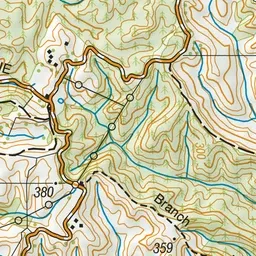
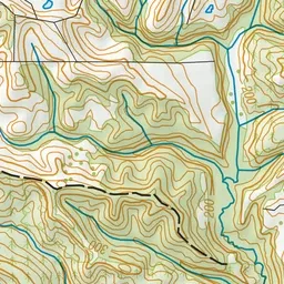
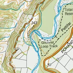
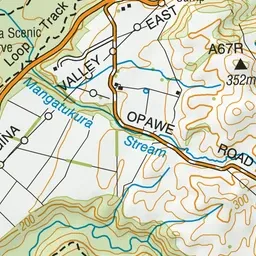
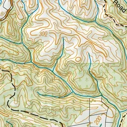
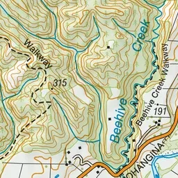
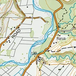
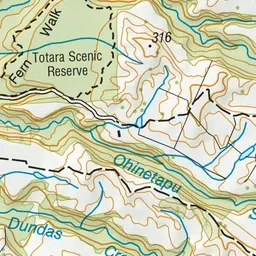
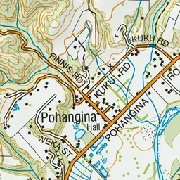
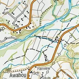
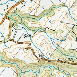
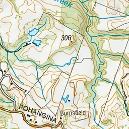
Pink: the track. Green dot: the start.
About the track
This walk follows a shallow creek through a mixture of native bush and exotics. Start from the southern end of the track as the northern section is closed.
Beehive Creek Walkway on DOC's website, for track alerts, bookings and closures.