 Ridgeflow
Bell Track
Waikato · New Zealand
Distance14.3 km (8.9 mi)all 5 sections
Climb919 m (3,015 ft)171 m (561 ft) down
High point929 m (3,048 ft)lowest 137 m (449 ft)
DOC's time6 - 10 hras DOC publishes it
GradeAdvancedDOC
This track is mapped in 5 separate sections, so there is no single profile or walking time. Climb is added up section by section.
Map
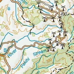
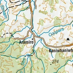
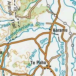
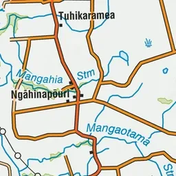
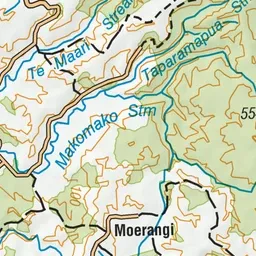
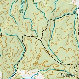
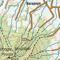
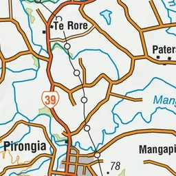
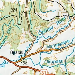
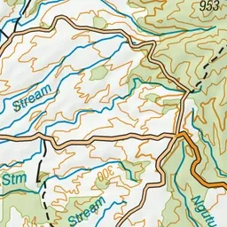
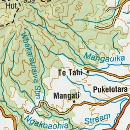
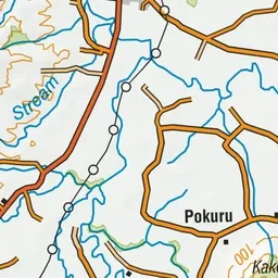
Pink: the track. Orange: huts. Blue: campsites.
About the track
Combine this track with Tahuanui Track for an overnight circuit to Pāhautea Hut and Mount Pirongia.
Huts on or near the track
- Pāhautea Hut (897 m, bookable)
Campsites
- Kaniwhaniwha Campsite (133 m)
- Pahautea Hut Campsite (898 m)
- Central Clearing Campsite (437 m)
Bell Track on DOC's website, for track alerts, bookings and closures.