 Ridgeflow
Benmore Peninsula Walk
Canterbury · New Zealand
Distance4 km (2.5 mi)along the line
Climb189 m (620 ft)166 m (545 ft) down
High point547 m (1,795 ft)lowest 376 m (1,234 ft)
DOC's time1 hr 40 minas DOC publishes it
Walking time1 h 18 minone way, moving, our estimate
GradeEasyDOC
Elevation profile
Map
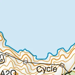
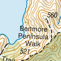
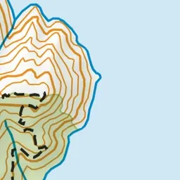
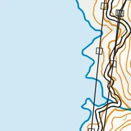
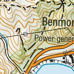
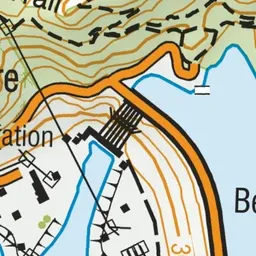
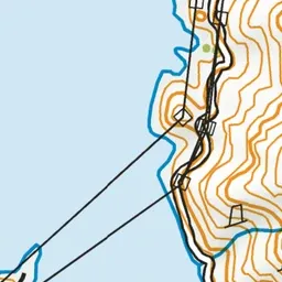
Pink: the track.
About the track
This circuit track passes through an exotic forest and around a peninsula jutting out into Lake Benmore.
Benmore Peninsula Walk on DOC's website, for track alerts, bookings and closures.