 Ridgeflow
Berwen Track
Otago · New Zealand
Distance5.4 km (3.4 mi)along the line
Climb164 m (538 ft)243 m (797 ft) down
High point939 m (3,081 ft)lowest 800 m (2,625 ft)
DOC's time1 hr 30 min to 2 hras DOC publishes it
Walking time1 h 37 minone way, moving, our estimate
GradeAdvancedDOC
Elevation profile
Map
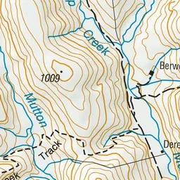
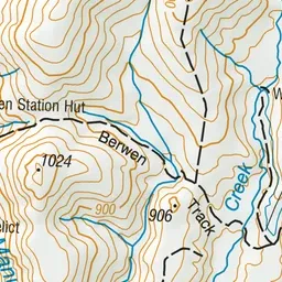
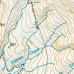
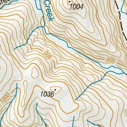
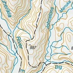
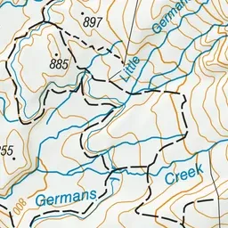
Pink: the track. Green dot: the start.
About the track
This track crosses private farmland and links the East Manuherikia 4WD Track with the Hawkdun Range.
Berwen Track on DOC's website, for track alerts, bookings and closures.