 Ridgeflow
Blue Lake Track
Bay of Plenty · New Zealand
Distance5.5 km (3.4 mi)along the line
Climb51 m (167 ft)57 m (187 ft) down
High point473 m (1,552 ft)lowest 426 m (1,398 ft)
DOC's time1 hr 30 minas DOC publishes it
Walking time1 h 28 minone way, moving, our estimate
GradeEasyDOC
Elevation profile
Map
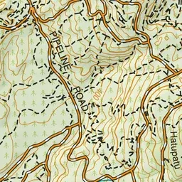
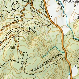
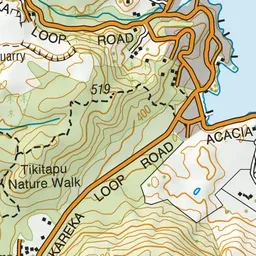
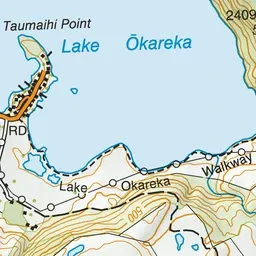
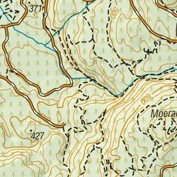
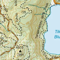
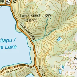
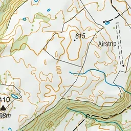
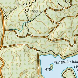
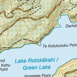
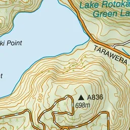
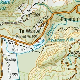
Pink: the track. Green dot: the start.
About the track
Enjoy native bush and quiet beaches. The track provides good opportunities to look out over the Blue Lake (Tikitapu) and Green Lake (Rotokakahi).
Blue Lake Track on DOC's website, for track alerts, bookings and closures.