 Ridgeflow
Blue Valley Track
Otago · New Zealand
Distance16.9 km (10.5 mi)along the line
Climb920 m (3,018 ft)313 m (1,027 ft) down
High point971 m (3,186 ft)lowest 321 m (1,053 ft)
DOC's time2-3 hr one way to Camp Flatas DOC publishes it
Walking time5 h 46 minone way, moving, our estimate
GradeAdvancedDOC
Elevation profile
Map
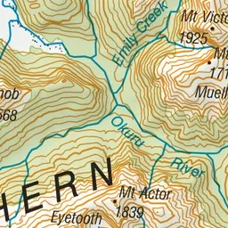
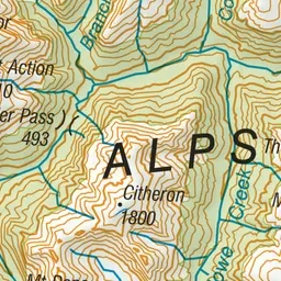
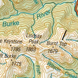
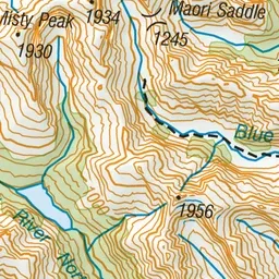
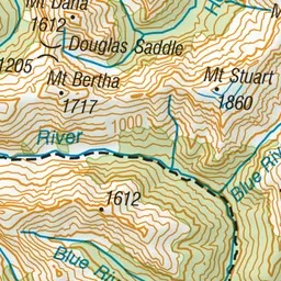
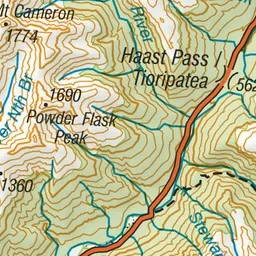
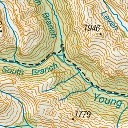
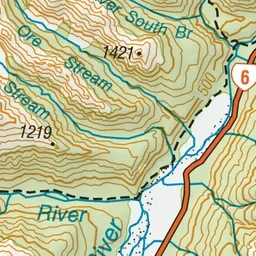
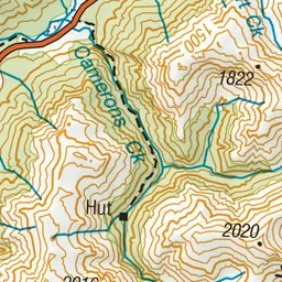
Pink: the track. Blue: campsites.
About the track
The track to Camp Flat is easily accessible and an interesting day trip. You can continue on for another 13 km to the head of the valley.
Campsites
- Cameron Flat Campsite (362 m)
Blue Valley Track on DOC's website, for track alerts, bookings and closures.