 Ridgeflow
Bob’s Cove Track and Nature Walk
Otago · New Zealand
Distance6.6 km (4.1 mi)all 11 sections
Climb193 m (633 ft)171 m (561 ft) down
High point387 m (1,270 ft)lowest 308 m (1,010 ft)
DOC's time20 min to Bobs Cove, 30 min to Picnic Pointas DOC publishes it
GradeEasyDOC
This track is mapped in 11 separate sections, so there is no single profile or walking time. Climb is added up section by section.
Map
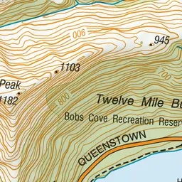
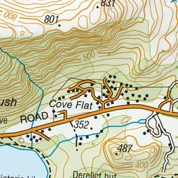
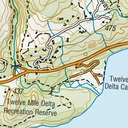
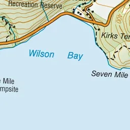
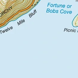
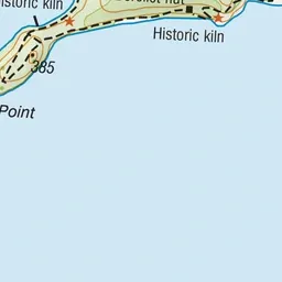


Pink: the track. Blue: campsites.
About the track
This short walk passes through native bush to reach a stunning cove on Lake Wakatipu, with an optional climb to Picnic Point – it's a great option for kids.
Campsites
- Twelve Mile Delta Campsite (316 m)
Bob’s Cove Track and Nature Walk on DOC's website, for track alerts, bookings and closures.