 Ridgeflow
Boyd, Oamaru and Cascade Hut tracks
Hawke's Bay · New Zealand
Distance79.6 km (49.5 mi)all 5 sections
Climb2,994 m (9,823 ft)3,119 m (10,233 ft) down
High point1,430 m (4,692 ft)lowest 634 m (2,080 ft)
DOC's time2 - 4 daysas DOC publishes it
GradeAdvancedDOC
This track is mapped in 5 separate sections, so there is no single profile or walking time. Climb is added up section by section.
Map
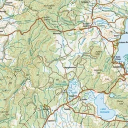
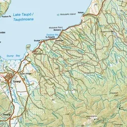
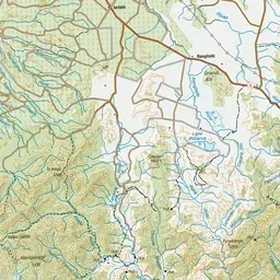
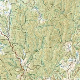
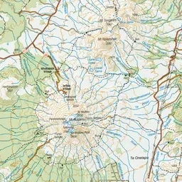
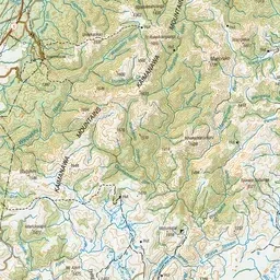
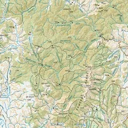
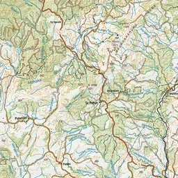
Pink: the track. Orange: huts. Blue: campsites.
About the track
Combine these tracks for a multi-night hike with lush beech forest, river crossings and wildlife. Several huts and road ends allow you to tailor a trip to suit.
Huts on or near the track
- Cascade Hut (786 m)
- Oamaru Hut (641 m)
Campsites
- Te Iringa Campsite (778 m)
Boyd, Oamaru and Cascade Hut tracks on DOC's website, for track alerts, bookings and closures.