 Ridgeflow
Breast Hill Track
Canterbury · New Zealand
Distance45.6 km (28.3 mi)all 4 sections
Climb3,087 m (10,128 ft)1,943 m (6,375 ft) down
High point1,693 m (5,554 ft)lowest 362 m (1,188 ft)
DOC's time3 daysas DOC publishes it
GradeAdvancedDOC
This track is mapped in 4 separate sections, so there is no single profile or walking time. Climb is added up section by section.
Map
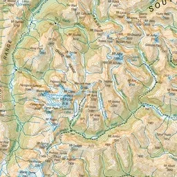
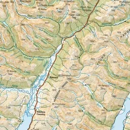
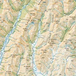
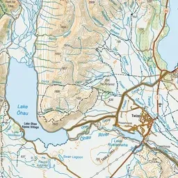
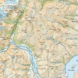
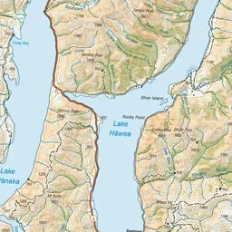
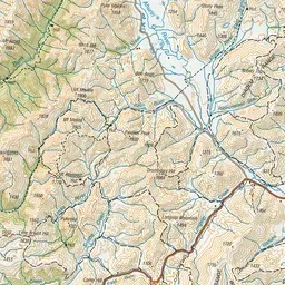
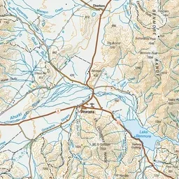
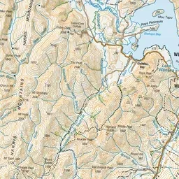
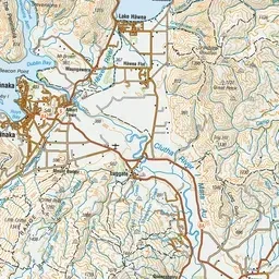
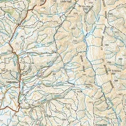
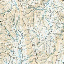
Pink: the track. Orange: huts.
About the track
This hiking track links Ahuriri Valley and Lake Hāwea via Mount Martha Saddle, Tīmaru River and Breast Hill. It's a demanding hike for experienced hikers. This track is part of Te Araroa Trail.
Huts on or near the track
- Top Tīmaru Hut (900 m)
- Stodys Hut (1077 m)
- Pakituhi Hut (1262 m)
Breast Hill Track on DOC's website, for track alerts, bookings and closures.