 Ridgeflow
Bridge Hill Track
Canterbury · New Zealand
Distance0.7 km (0.5 mi)along the line
Climb0 m (0 ft)65 m (213 ft) down
High point1,043 m (3,422 ft)lowest 978 m (3,209 ft)
DOC's time15 min one wayas DOC publishes it
Walking time11 minone way, moving, our estimate
GradeIntermediateDOC
Elevation profile
Map
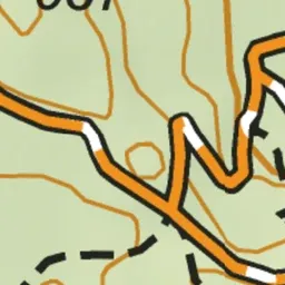
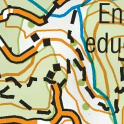
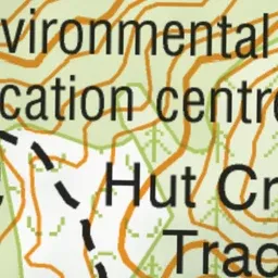
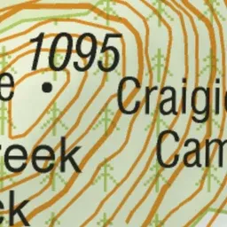
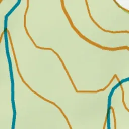
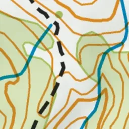
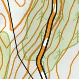
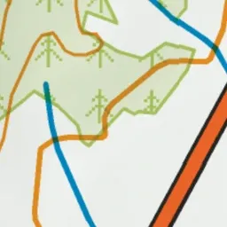
Pink: the track. Green dot: the start.
About the track
A short walking track with stunning views from the top of Bridge Hill.
Bridge Hill Track on DOC's website, for track alerts, bookings and closures.