 Ridgeflow
Bush Stream and Camp Stream tracks
Canterbury · New Zealand
Distance60.9 km (37.9 mi)all 2 sections
Climb2,720 m (8,924 ft)2,129 m (6,985 ft) down
High point1,922 m (6,306 ft)lowest 515 m (1,690 ft)
DOC's time2-3 daysas DOC publishes it
GradeAdvanced, ExpertDOC
This track is mapped in 2 separate sections, so there is no single profile or walking time. Climb is added up section by section.
Map
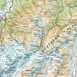
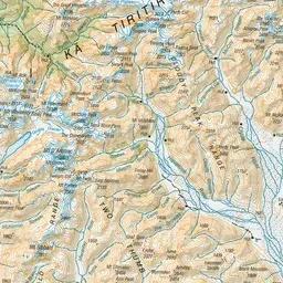
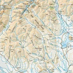
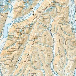
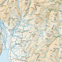
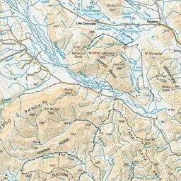
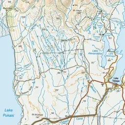
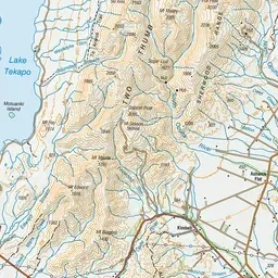
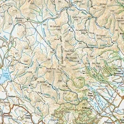
Pink: the track. Orange: huts.
About the track
These tracks link the Rangitata River valley near Mesopotamia with Round Hill by Lake Tekapo. They are part of Te Araroa.
Huts on or near the track
- Royal Hut (1330 m)
- Crooked Spur Hut (1029 m)
- Camp Stream Hut (1229 m)
- Stone Hut (1098 m)
Bush Stream and Camp Stream tracks on DOC's website, for track alerts, bookings and closures.