 Ridgeflow
Cape Brett Track
Northland · New Zealand
Distance4.4 km (2.8 mi)along the line
Climb426 m (1,398 ft)397 m (1,302 ft) down
High point204 m (669 ft)lowest 7 m (23 ft)
DOC's time2-3 hr (Deep Water Cove to the lighthouse)as DOC publishes it
Walking time1 h 49 minone way, moving, our estimate
GradeAdvancedDOC
Elevation profile
Map
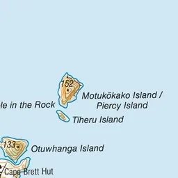
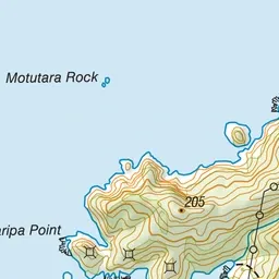
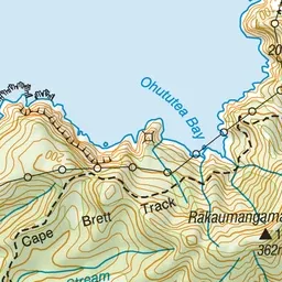
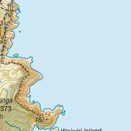
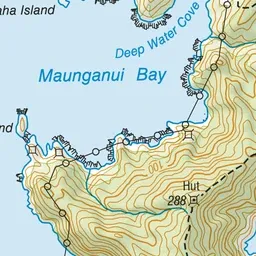
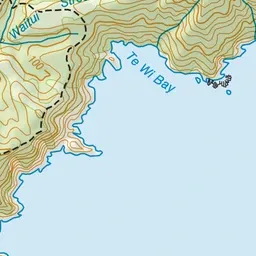
Pink: the track. Green dot: the start. Orange: huts.
About the track
DOC maps only the Deep Water Cove to Cape Brett lighthouse leg. The full 16.3 km track from Rawhiti is not in DOC's data: its first 10 km crosses Te Rawhiti 3B2 Ahu Whenua Trust land and needs a paid permit.
Huts on or near the track
- Cape Brett Hut (38 m, bookable)
Cape Brett Track on DOC's website, for track alerts, bookings and closures.