 Ridgeflow
Cape Kidnappers/Te Kauwae-a-Māui Route
Hawke's Bay · New Zealand
Distance8.7 km (5.4 mi)along the line
Climb460 m (1,509 ft)363 m (1,191 ft) down
High point105 m (344 ft)lowest 5 m (16 ft)
DOC's time5 hr returnas DOC publishes it
Walking time2 h 56 minone way, moving, our estimate
GradeExpertDOC
Elevation profile
Map
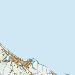

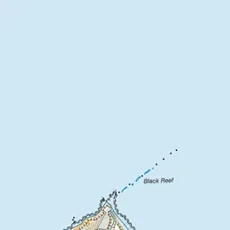

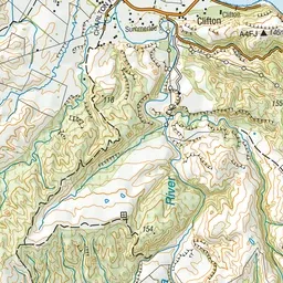
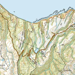
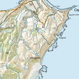

Pink: the track. Green dot: the start.
About the track
This route is along a beach and is subject to landslides and rockfall. It can only be attempted at low tide.
Cape Kidnappers/Te Kauwae-a-Māui Route on DOC's website, for track alerts, bookings and closures.