 Ridgeflow
Carrick Range access tracks
Otago · New Zealand
Distance15.6 km (9.7 mi)all 4 sections
Climb788 m (2,585 ft)507 m (1,663 ft) down
High point1,274 m (4,180 ft)lowest 962 m (3,156 ft)
DOC's timeVarious up to 5 hr one wayas DOC publishes it
GradeIntermediateDOC
This track is mapped in 4 separate sections, so there is no single profile or walking time. Climb is added up section by section.
Map
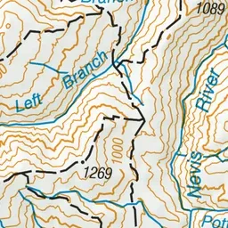
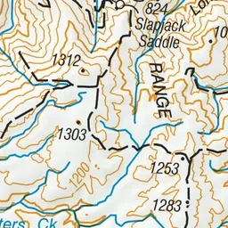
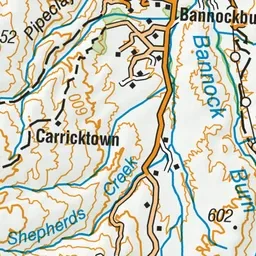
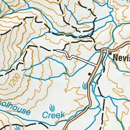
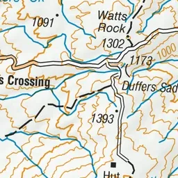
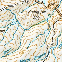
Pink: the track.
About the track
Rising above Bannockburn and rich in goldmining history, the Carrick Range is one of the most accessible mountain ranges in Central Otago. These tracks take you to three conservation areas and two historic reserves.
Carrick Range access tracks on DOC's website, for track alerts, bookings and closures.