 Ridgeflow
Carrington Hut Route
Canterbury · New Zealand
Distance15.3 km (9.5 mi)along the line
Climb345 m (1,132 ft)213 m (699 ft) down
High point806 m (2,644 ft)lowest 648 m (2,126 ft)
DOC's time4-6 hr to Carrington Hut one wayas DOC publishes it
Walking time4 h 24 minone way, moving, our estimate
GradeExpertDOC
Elevation profile
Map
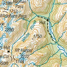
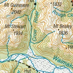
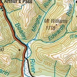
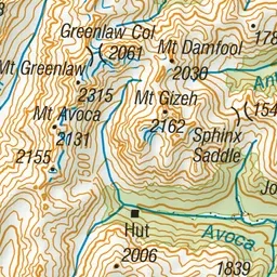
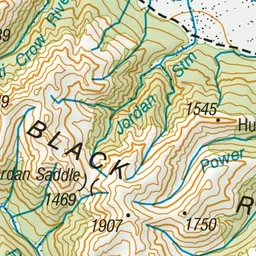
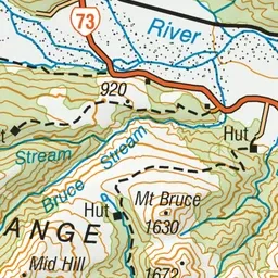
Pink: the track. Green dot: the start. Orange: huts.
About the track
This route up the braided riverbed of the Waimakariri leads to a comfortable hut situated below the park’s highest peaks. Carrington Hut is a good base for exploring the upper Waimakariri catchment.
Huts on or near the track
- Carrington Hut (819 m, bookable)
- Anti Crow Hut (700 m, bookable)
Carrington Hut Route on DOC's website, for track alerts, bookings and closures.