 Ridgeflow
Casey Saddle - Binser Saddle Route
Canterbury · New Zealand
Distance42.6 km (26.5 mi)all 2 sections
Climb1,479 m (4,852 ft)1,524 m (5,000 ft) down
High point1,098 m (3,602 ft)lowest 475 m (1,558 ft)
DOC's time2 daysas DOC publishes it
GradeAdvancedDOC
This track is mapped in 2 separate sections, so there is no single profile or walking time. Climb is added up section by section.
Map
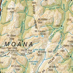
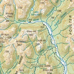
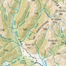
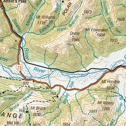
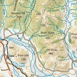
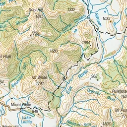
Pink: the track. Orange: huts. Blue: campsites.
About the track
This is a pleasant 2 day hike, crossing easy saddles on well-defined tracks through open mountain beech forest.
Huts on or near the track
- Casey Hut (599 m, bookable)
Campsites
- Andrews Shelter Campsite (553 m)
Casey Saddle - Binser Saddle Route on DOC's website, for track alerts, bookings and closures.