 Ridgeflow
Cass-Lagoon Saddle Track
Canterbury · New Zealand
Distance32.3 km (20.1 mi)all 2 sections
Climb1,333 m (4,373 ft)1,392 m (4,567 ft) down
High point1,341 m (4,400 ft)lowest 575 m (1,886 ft)
DOC's time2 - 3 daysas DOC publishes it
GradeAdvanced, ExpertDOC
This track is mapped in 2 separate sections, so there is no single profile or walking time. Climb is added up section by section.
Map
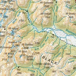
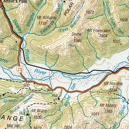
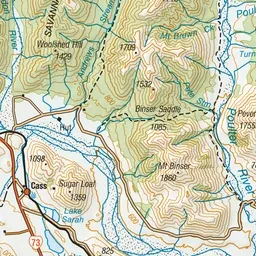
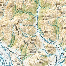
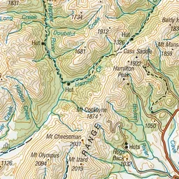
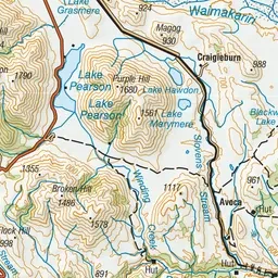
Pink: the track. Orange: huts.
About the track
Cass - Lagoon Saddle in Craigieburn Forest Park is a two-day round trip suitable for fit, moderately experienced and equipped parties. This track is part of Te Araroa Trail.
Huts on or near the track
- West Harper Hut (865 m)
- Lagoon Saddle Hut (1143 m)
- Cass Saddle Hut (1153 m)
- Hamilton Hut (801 m, bookable)
- Bealey Hut (710 m)
- Lagoon Saddle A Frame (1135 m)
Cass-Lagoon Saddle Track on DOC's website, for track alerts, bookings and closures.