 Ridgeflow
Caving at Cave Stream
Canterbury · New Zealand
Distance0.7 km (0.4 mi)along the line
Climb26 m (85 ft)26 m (85 ft) down
High point674 m (2,211 ft)lowest 648 m (2,126 ft)
DOC's time1 hras DOC publishes it
Walking time12 minone way, moving, our estimate
GradeExpertDOC
Elevation profile
Map
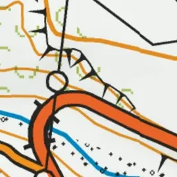
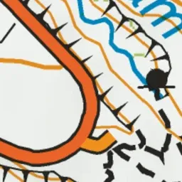
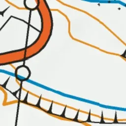
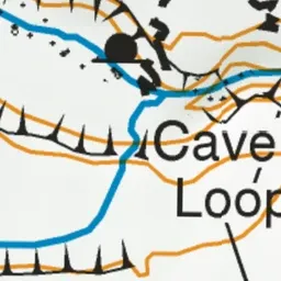
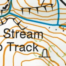
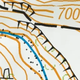
Pink: the track. Green dot: the start.
About the track
This caving trip requires low river flows and no rain, as well as strong fitness, the right gear and confidence in outdoor activities.
Caving at Cave Stream on DOC's website, for track alerts, bookings and closures.