 Ridgeflow
Circle Walk and Circle Loop Track
Marlborough · New Zealand
Distance1.2 km (0.7 mi)along the line
Climb9 m (30 ft)9 m (30 ft) down
High point49 m (161 ft)lowest 39 m (128 ft)
DOC's time45 minas DOC publishes it
Walking time19 minone way, moving, our estimate
GradeEasiestDOC
Elevation profile
Map
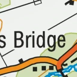
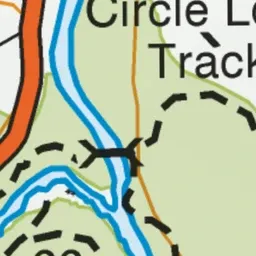
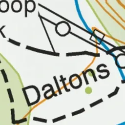
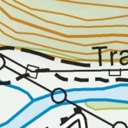
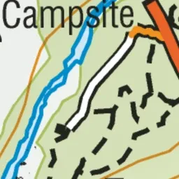
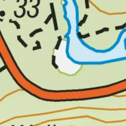
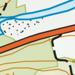
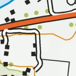
Pink: the track. Green dot: the start.
About the track
The wheelchair-friendly Circle Walk alongside Te Hoiere/Pelorus River continues as the Circle Loop Track. This track is part of Te Araroa Trail.
Circle Walk and Circle Loop Track on DOC's website, for track alerts, bookings and closures.