 Ridgeflow
Cone Ridge Tracks
Wellington · New Zealand
Distance5.1 km (3.2 mi)along the line
Climb248 m (814 ft)597 m (1,959 ft) down
High point1,079 m (3,540 ft)lowest 571 m (1,873 ft)
Walking time1 h 46 minone way, moving, our estimate
GradeAdvancedDOC
Elevation profile
Map
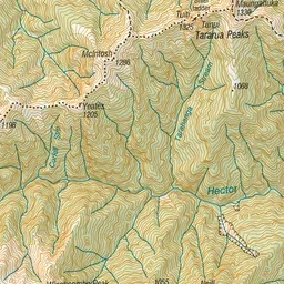
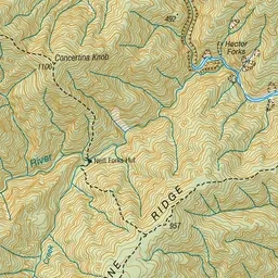
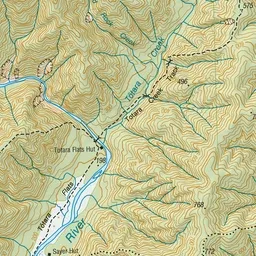
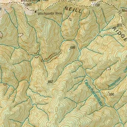
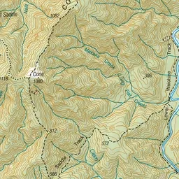
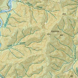
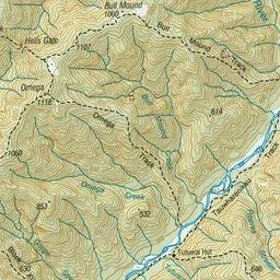
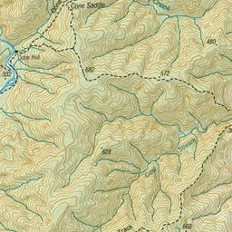
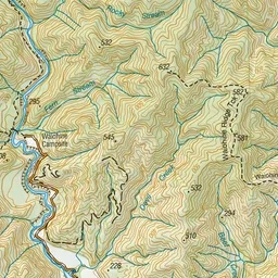
Pink: the track. Green dot: the start.
About the track
A network of hiking tracks along Cone Ridge, with tracks to Waiohine Road End, Cone Hut, Totara Flats Hut, the Waiohine Valley, Neill Saddle and Neill Forks Hut.
Cone Ridge Tracks on DOC's website, for track alerts, bookings and closures.