 Ridgeflow
Conroys Creek Historic Sites
Otago · New Zealand
Distance3 km (1.9 mi)along the line
Climb70 m (230 ft)91 m (299 ft) down
High point374 m (1,227 ft)lowest 296 m (971 ft)
DOC's time1 hr 30 min loopas DOC publishes it
Walking time52 minone way, moving, our estimate
GradeEasyDOC
Elevation profile
Map
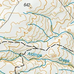
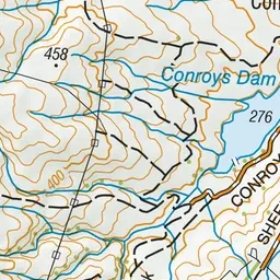
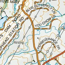
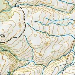
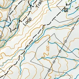
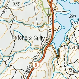
Pink: the track.
About the track
Explore the historic relics and admire the views in the Aldinga Conservation Area. Conroys Dam is a popular picnic and swimming spot.
Conroys Creek Historic Sites on DOC's website, for track alerts, bookings and closures.