 Ridgeflow
Cowans Hill Track
Canterbury · New Zealand
Distance3.3 km (2 mi)along the line
Climb42 m (138 ft)66 m (217 ft) down
High point779 m (2,556 ft)lowest 712 m (2,336 ft)
DOC's time1 hr 30 mins one wayas DOC publishes it
Walking time53 minone way, moving, our estimate
GradeEasyDOC
Elevation profile
Map
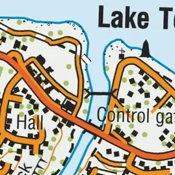
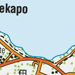
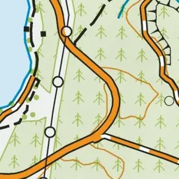
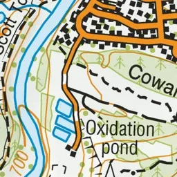
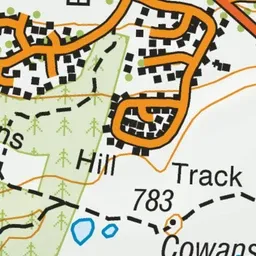
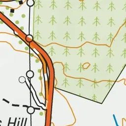
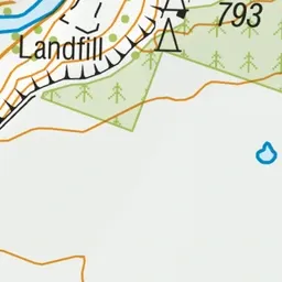
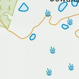
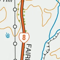
Pink: the track. Green dot: the start.
About the track
The track passes through exotic forest, open tussock country and past small tarns where wetland birds may stop to feed. It is suitable for walkers and mountain bikers.
Cowans Hill Track on DOC's website, for track alerts, bookings and closures.