 Ridgeflow
Craigieburn Edge Track
Canterbury · New Zealand
Distance4.4 km (2.7 mi)along the line
Climb43 m (141 ft)449 m (1,473 ft) down
High point1,290 m (4,232 ft)lowest 880 m (2,887 ft)
DOC's time1 hr 15 minas DOC publishes it
Walking time1 h 11 minone way, moving, our estimate
GradeIntermediateDOC
Elevation profile
Map
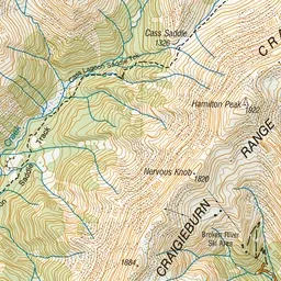
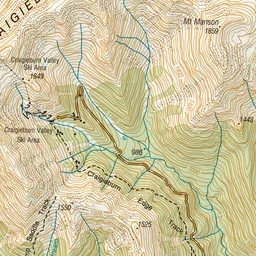
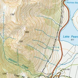
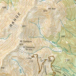
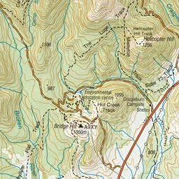
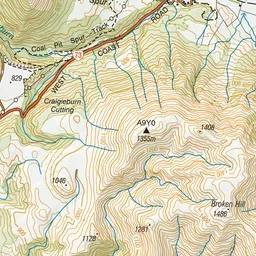
Pink: the track. Green dot: the start.
About the track
This track follows the Craigieburn Valley through mountain beech forest and tussock. It is best walked in summer and early autumn, as there can be avalanches when snow is present on the hills.
Craigieburn Edge Track on DOC's website, for track alerts, bookings and closures.