 Ridgeflow
Cullen Point tracks
Marlborough · New Zealand
Distance3.1 km (1.9 mi)along the line
Climb146 m (479 ft)153 m (502 ft) down
High point110 m (361 ft)lowest 13 m (43 ft)
DOC's time10 min and 1 hras DOC publishes it
Walking time1 h 1 minone way, moving, our estimate
GradeEasiest, EasyDOC
Elevation profile
Map
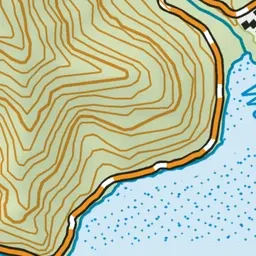
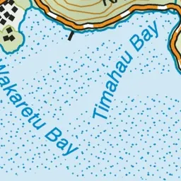
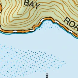
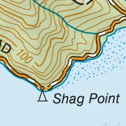

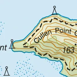
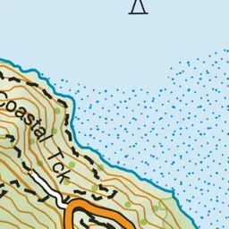

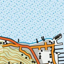
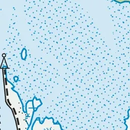
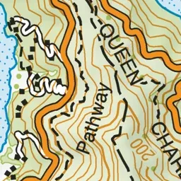

Pink: the track. Green dot: the start.
About the track
Walk the beautiful loop track for views of Pelorus Sound and Havelock and the short lookout track for views of Mahau Sound.
Cullen Point tracks on DOC's website, for track alerts, bookings and closures.