 Ridgeflow
Davies Track
Taranaki · New Zealand
Distance3.6 km (2.2 mi)along the line
Climb10 m (33 ft)449 m (1,473 ft) down
High point579 m (1,900 ft)lowest 140 m (459 ft)
DOC's time2 hr to trigas DOC publishes it
Walking time1 hone way, moving, our estimate
GradeAdvancedDOC
Elevation profile
Map
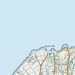
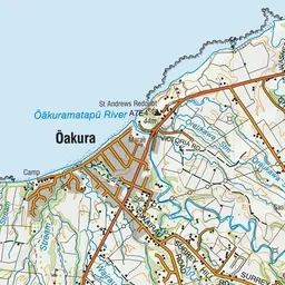
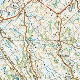
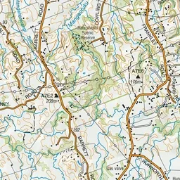
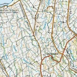
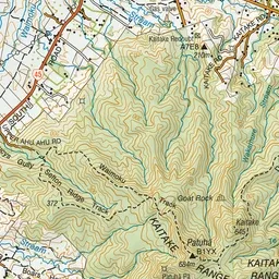
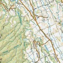
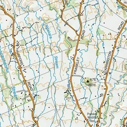
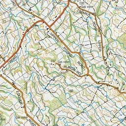
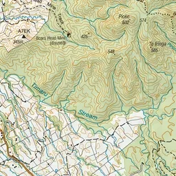
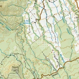
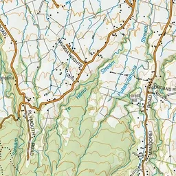
Pink: the track. Green dot: the start.
About the track
Follow Davies Track to Patuhā Trig to get great views of the coastline and Taranaki Maunga. You can combine it with the Waimoku Track.
Davies Track on DOC's website, for track alerts, bookings and closures.