 Ridgeflow
Deans Bank Track
Otago · New Zealand
Distance11.9 km (7.4 mi)along the line
Climb190 m (623 ft)179 m (587 ft) down
High point340 m (1,115 ft)lowest 280 m (919 ft)
DOC's time1 hr 30 min - 2 hras DOC publishes it
Walking time3 h 18 minone way, moving, our estimate
GradeEasyDOC
Elevation profile
Map
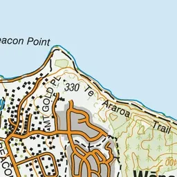
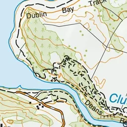
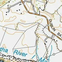
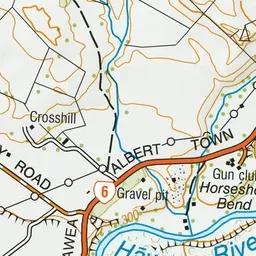
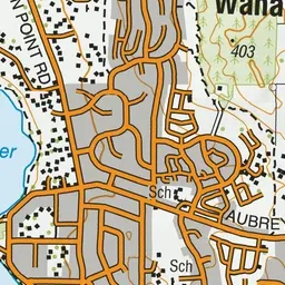
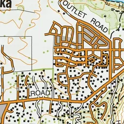
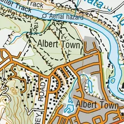
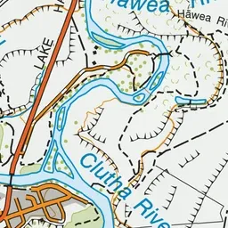
Pink: the track.
About the track
This loop walking and mountain biking track meanders along the upper slopes of the Clutha river and offers spectacular views of surrounding peaks and Otago landscapes.
Deans Bank Track on DOC's website, for track alerts, bookings and closures.